
Janesville ZIP Directory Coverage
Official USPS labeling material identifies four Janesville codes, 53545 through 53548. The inspected sources do not publish reliable neighborhood names, current station names, or street-by-street lines for each code. Describing them as neat north, south, east, or west districts would invent geography the official record does not support.
| ZIP | Areas Covered | Post Office | Notes |
|---|---|---|---|
| 53545 | Janesville delivery area; verify exact routes live | Current station not confirmed | Part of 2003 reassignment |
| 53546 | Janesville delivery area; no verified neighborhood division | Current station not confirmed | Use full address |
| 53547 | Janesville delivery area; boundary not exposed | Current station not confirmed | Do not infer city limits |
| 53548 | Janesville delivery area; verify exact routes live | Current station not confirmed | Received 8,047 deliveries in 2003 |
USPS is the authority for delivery geography. Janesville Planning and GIS handle city lines, wards, zoning, and parcels. For a current result, enter the full street address in the USPS ZIP Code Lookup and record the date checked.
Janesville's 2003 ZIP Realignment
A USPS Postal Bulletin records a concrete local change: 8,047 deliveries moved from 53545 to 53548 in 2003. That proves a delivery reassignment, not a complete modern map. An old directory, envelope, newspaper notice, or family paper may attach 53545 to an address that later used 53548.
Keep both values in historical notes. Copy the ZIP printed on the source and add the later change as context. Replacing it with today's code would erase evidence about when the item was made. For current mail, check the full address through USPS rather than projecting from the 2003 count.
Verify Janesville ZIP Codes with USPS
USPS tools answer a postal question. Search by a complete address when possible. A ZIP query can identify a postal city or office context, but it does not produce a public resident list. Record the delivery city, ZIP, alternate city label if shown, and lookup date. Note PO-box or general-delivery facts only when a live result states them.
The official USPS entry captured during Janesville research is the right starting source.
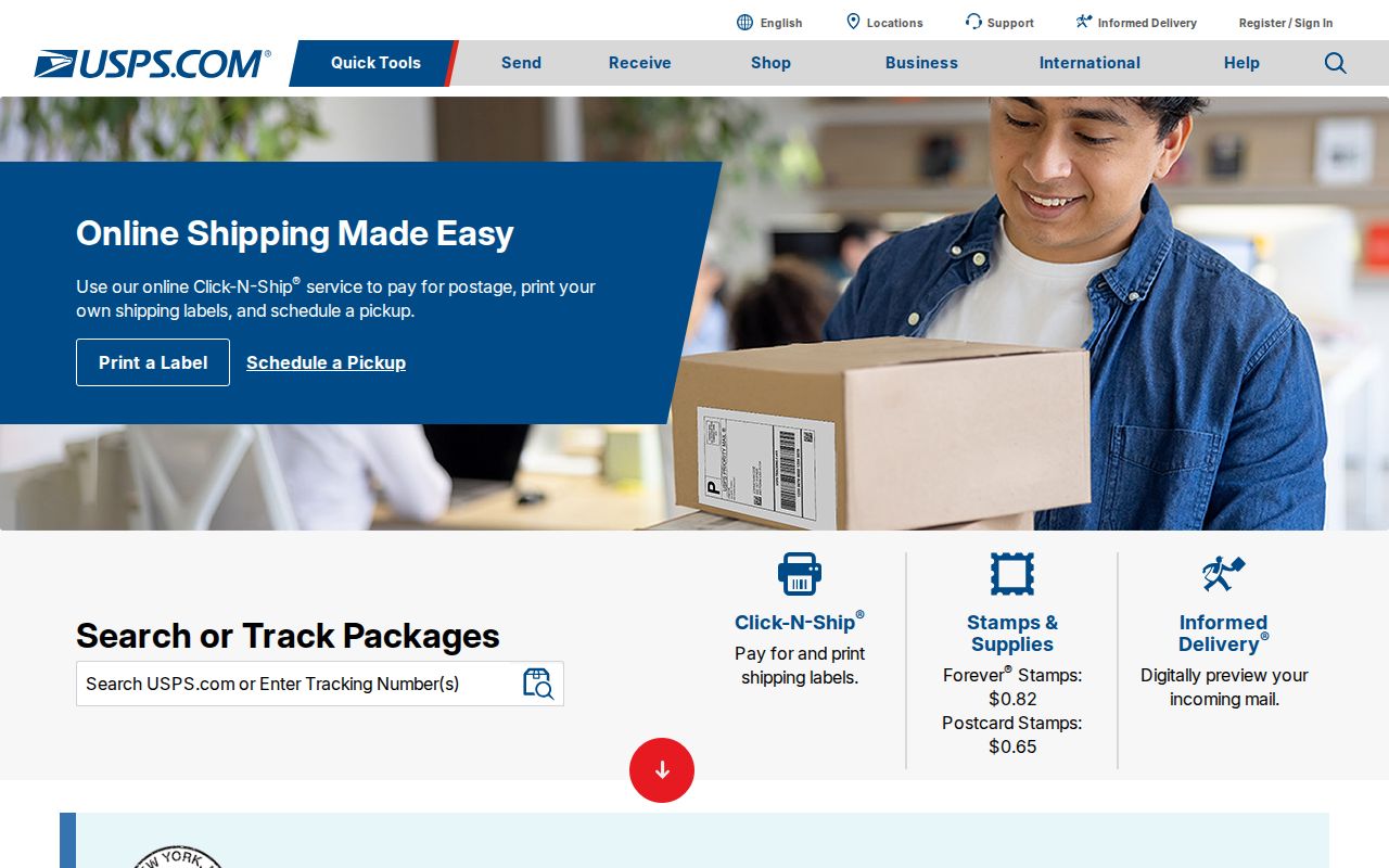
The screenshot is not proof of a route boundary. Run a fresh query and save its result when exact delivery geography matters.
Use all available channels. Try the online lookup, contact USPS customer service or the post office for delivery questions, ask Janesville Planning or the Assessor about civic geography, and consult Hedberg Public Library for old maps. Historical route notices may appear in Postal Bulletins and archives.
Find Janesville Residents by ZIP
No inspected official source offers a sound public roster of everyone in one Janesville ZIP. Instead, a ZIP code directory narrows a full address for systems built around another key. MyVote requires street, city, and ZIP in address search. Janesville eGov uses house number and street or tax map number, with no documented ZIP-only filter.
- Confirm the complete mailing address and present ZIP through USPS.
- Use MyVote Wisconsin with street, city, and ZIP for public voter information linked to that address.
- Use Janesville eGov with house number and street for a property record. Do not expect a ZIP filter.
- Compare the parcel in city maps for municipal, ward, and land context. No ZIP layer was verified.
- Once a named road is known, follow the Janesville street directory route.
MyVote's name search asks for first name, last name, and date of birth. Its address mode needs a complete address, not merely 53545. Public voting activity never reveals ballot choices, and protected address programs can lawfully keep some fields from display.
Note: A ZIP narrows mail geography; it does not confirm identity, occupancy, property ownership, or voter eligibility.
Janesville ZIP Search Fields
The useful public tools treat ZIP as one part of a larger address. This comparison shows where another route is needed.
| System | Fields to use | ZIP behavior |
|---|---|---|
| USPS | Full address or ZIP query | Postal authority |
| MyVote address search | Street, city, ZIP | Required within complete address |
| Janesville eGov | House No From, House No To, Street | No documented ZIP filter |
| City GIS | Live fields not confirmed | No verified ZIP layer |
| Rock County tax search | Dynamic fields not confirmed | Do not claim a ZIP filter |
| Badger Voters | Dataset request and geography | Quoted extract; protected fields omitted |
DFI business search uses name, status, and date fields, though results may show a mailing address. DHS vital applications use ZIP for requester contact, not a public index. DSPS fields were not fully exposed, so no ZIP claim is safe without a live check.
Janesville ZIPs Versus City Limits
A postal line and municipal line answer different questions. A Janesville mailing label can occur outside the legal border, while city services, wards, and parcels follow their own geography. Rock County and Janesville also split land work. The city assessor handles Janesville property cards, and the county Real Property Lister excludes Janesville and Beloit from its municipal listing service.
Use Janesville Maps and GIS for civic context, then the city assessor for an inside-city parcel. County Land Information adds county context, while ownership history belongs with the Register of Deeds. That office split is more reliable than guessing from a ZIP.
Four terms often get mixed up:
- ZIP code
- A five-digit USPS code for sorting and delivery.
- ZIP+4
- Four more digits that narrow mail to a small segment.
- PO-box ZIP
- A code or use tied to post-office boxes; no Janesville example was confirmed.
- Carrier route
- A delivery sequence that may cross perceived neighborhood lines.
A unique ZIP serves one large organization. None was confirmed for Janesville. Verify a specific destination with USPS.
Match Janesville ZIPs to Parcels
Janesville eGov searches by property location or tax map number. For one parcel, enter the same number in House No From and House No To. Use the street name without a directional or suffix and match database spelling. A range can cover several addresses, but instructions do not expose a ZIP field.
A property card helps confirm a situs address, meaning the site's physical address, plus parcel and assessment details. It does not prove occupancy. During the 2027 revaluation, note the assessment year and access date. The City Assessor can help at 608-755-3045 or in person when the portal fails.
For an unposted map or addressing file, make a specific city request through the Clerk-Treasurer or NextRequest. State the map, date, format, and area needed. Wisconsin Public Records Law applies to custodians, while USPS delivery questions remain federal postal matters.
Janesville ZIPs in MyVote
MyVote joins street, city, and ZIP to locate public election information. It can check how a complete address maps to polling context. It is not a ZIP-wide people list. If an address fails, verify its USPS form and contact the municipal clerk rather than trying random versions.
For broader public data, Badger Voters uses an account, quote, payment, and download process. Inspected statewide data begins in September 2006. Public activity older than ten years requires that route, and protected fields are omitted. Ballot choices stay private.
Cite Historical Janesville ZIP Evidence
Hedberg Public Library's directories, Gazette microfilm, atlases, and maps show earlier postal wording. Janesville's Past covers directories from 1857 to 1931, before today's four-code pattern can be projected backward. Copy an address as printed, including old postal labels, and add current information in a separate note.
A sound ZIP citation records source, exact query, result, and date. Cite the Postal Bulletin for the 2003 switch and its 8,047-delivery count. Cite a live USPS result for today's address and a dated city map for municipal boundaries. Each source then answers its own question.
Note: Historic directories may predate ZIP codes, so never insert a modern ZIP into a transcription of an original listing.
Document a Janesville ZIP Result
Keep a source record for each ZIP conclusion. Write the full address as entered, the USPS result, the date checked, and alternate delivery-city wording. Cite a separate Janesville or Rock County map for city limits, wards, parcels, or school geography. If a code appears in an old directory or newspaper, transcribe its printed form before noting a later change. This preserves the line between postal history and current delivery.
When sources conflict, ask the office responsible for the fact. USPS handles delivery codes. Janesville Planning and GIS handle municipal maps, while the Assessor handles city parcels. The clerk or MyVote handles election-address questions. Do not settle a mismatch by choosing the result that seems most familiar.