
Janesville Previous Residents by Era
No single source spans the whole life of a Janesville address. Begin with the newest reliable parcel facts, then move backward through recorded instruments and dated household sources. The strongest proof records what each item can and cannot establish.
| Source | Years It Covers | Where Held | What It Shows |
|---|---|---|---|
| Recorded real-estate index and images | 1830 to present for most records by document number | Rock County Register of Deeds | Recorded parties, dates, instrument type, legal description, and image |
| Deeds, mortgages, and surveys | 1839 forward in county genealogy notes | Register of Deeds and genealogy room | Older ownership and land-description evidence |
| Janesville city directories | 1857 to 1931 digitized | Janesville's Past, UW, and Hedberg | Names, addresses, professions, businesses, and landmarks |
| Gazette newspapers | Microfilm from 1845; title runs vary | Hedberg Wisconsin Room and archival routes | Obituaries, notices, sales, local events, and address clues |
| City aerial photographs | 1956 through 2000 at listed intervals | Janesville Planning and GIS | Structure and landscape change, not resident identity |
| Current parcel, tax, and permits | Current system and available history | City eGov, county tax search, city records | Present parcel anchor, card pages, bills, and work dates |
For a recent transfer, start with eGov and the recorder. For a late nineteenth or early twentieth-century household, pair a directory edition with the closest newspaper, deed, atlas, or map. Earlier places may require a ward, plat, river, mill, bridge, or owner name because a modern number may not yet have existed.
Freeze the Current Janesville Parcel
Open the Janesville eGov property search before working backward. Enter the same house number in the From and To fields, use the database spelling of the street, and try the lowest number for a multi-address property. Save the tax-map number, legal description, current assessed owner, card page, assessment year, building facts, tax bills, and permit references.
Use the Pages menu and Go to Last Page to reach page 3, which the city's instructions identify as the property-record-card route. Next, compare the parcel in the city map library. Note adjoining parcels, alleys, river or rail barriers, zoning, historic overlays, and the date of each layer. GIS shapes are for tax and listing work, not a legal survey.
Preserve the situs address separately from the owner's mailing address. A situs is the physical property location. An owner can receive mail elsewhere, and neither field alone identifies the people occupying the building.
Trace Rock County Owners Backward
The Rock County deed search cannot accept a street address or PIN. Translate the eGov result into a party name and legal description. Most real-estate records can be reached by document number from 1830 to the present. Grantor/grantee and document-type indexing begins in 1956, and legal-description indexing begins in 1978. Earlier work may require book and page, tract material, images, public terminals, or staff help.
- Copy the current assessed owner and full legal description from the Janesville property card.
- Find that owner's purchase instrument by party, document number, book and page, or legal description.
- Open the image. Record grantor, grantee, recording date, document number, legal description, and any prior-instrument reference.
- Search the seller as a grantee to locate the seller's earlier purchase, then repeat.
- When field coverage runs out, use courthouse terminals, tract or deed books, and a specific counter or written request.
- Grantor
- The party transferring an interest in a recorded instrument.
- Grantee
- The party receiving the recorded interest.
- Chain of title
- The linked sequence of recorded transfers for the same land.
- Legal description
- The formal land description, such as lot and block or section-town-range, that stays useful when street labels change.
For a subdivision search in Laredo, use the first five characters, choose Look up, select the subdivision, and enter lot and block. Lot ranges are not supported. Search the party name with and without a middle initial, and compare it with the legal-description path because an index can contain omissions.
Janesville Deed Images and Counter Access
Tapestry is the occasional-user route and charges $8.75 per search plus $1 per printed image. Laredo serves frequent users. At the courthouse, public terminals provide Laredo access without the online Tapestry search fee, though statutory copy charges remain. Official copies cost $2 for the first page and $1 for each additional page, with $1 added for certification.
The Rock County Register of Deeds is at 51 S. Main Street in Janesville, open weekdays from 8:00 a.m. to 4:30 p.m. Walk-in service, a lobby drop box, phone at 608-757-5650, fax, and written requests offer alternatives. Identify the parties, date, document number, book and page, legal description, or property context as precisely as possible.
About 82 percent of county records are electronically recorded, and e-recording began in 2006. That does not mean every older name or tract is fully indexed. Read the document image, especially when an older image uses faint blue or light ink.
Pair Janesville Directories with Census
Deeds track owners. Household sources help identify previous residents who did not hold title. Janesville's Past provides digitized city directories from 1857 through 1931, and Hedberg keeps local directories and telephone directories under its collection policy. A separate reverse-directory series was not confirmed, so ask the Wisconsin Room whether an address-arranged volume exists before claiming one.
- Choose a directory edition closest to the deed date and search the owner's surname and known variants.
- Inspect alphabetical, business, classified, and street-guide material for the address or an older landmark.
- Compare the result with the nearest available federal census through HeritageQuest or another library route.
- Test household names against newspapers, obituaries, and the deed image, using relatives and exact addresses to avoid same-name errors.
- Cite the title, edition, page, image or permanent item URL, and the date each modern search was run.
The 1913 Wright directory is a 338-page concrete sample. The earlier 1862 Bailey directory and the 1873 Combination Atlas add businesses, ads, owner names, buildings, and landmarks that can bridge a household to a place before modern numbering.
Hedberg Clues for Janesville Households
The Hedberg Local History Database indexes local newspaper articles, photographs, books, and pamphlets. Search Subject Heading and Headline/Keyword separately with a few distinctive words. Entries show date and source, and some provide graph, map, timeline, or photo controls. The database has a known June through December 2019 indexing gap, so a failed search in that span should move to microfilm or staff help.
The database includes the 1873 atlas drawings, the 1879 county history index, the 1893 Art Work photographs, local histories, school materials, GM clipping files, and an obituary/death-notice index. Hedberg's obituary index covers stated runs in the 1980s and from 1993 toward the present, with continuing updates. Treat it as a pointer, then confirm the article or official record.
The library's institutional collection page shows the kind of Janesville and Rock County historical holdings available:
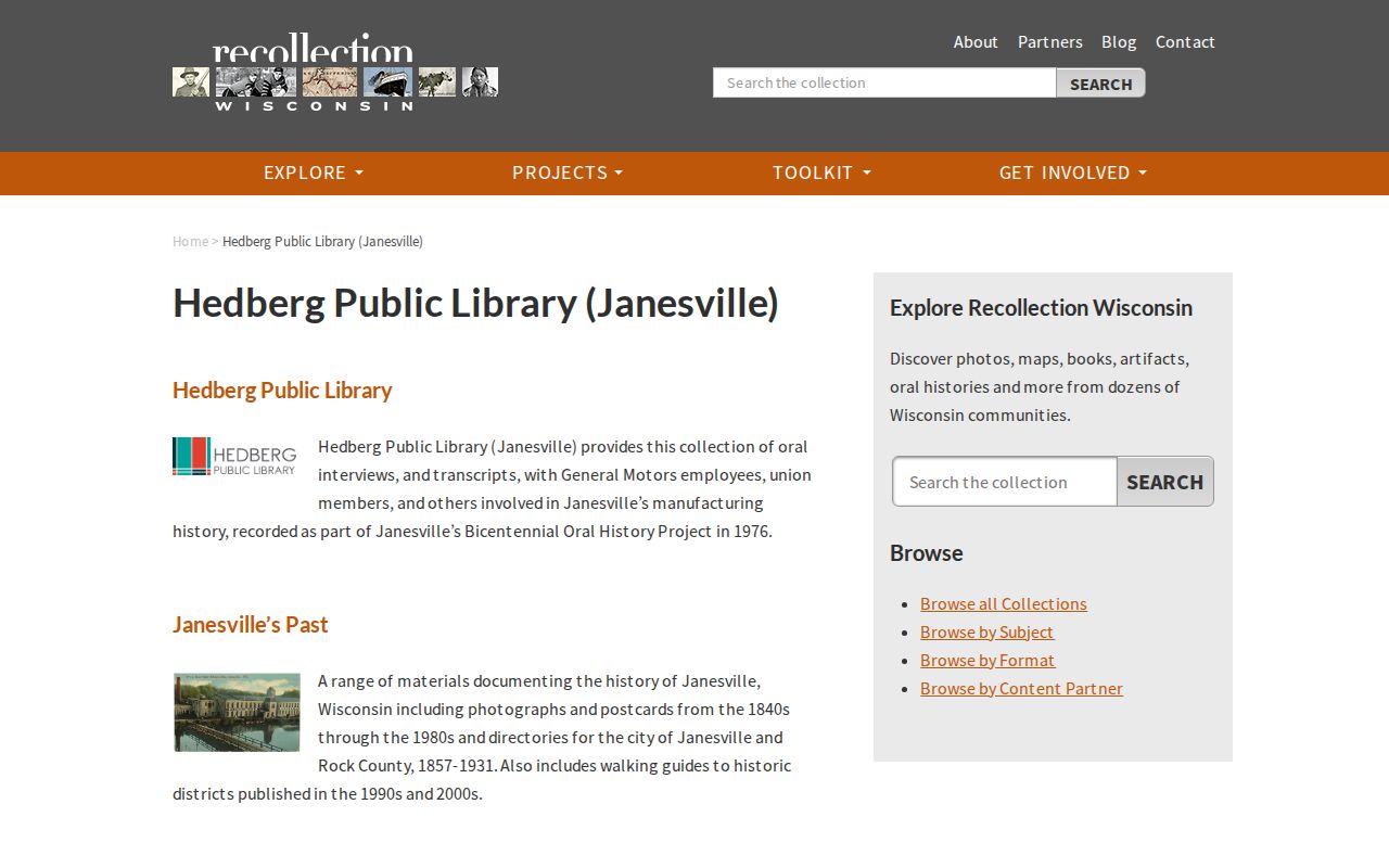
The collection connects digitized directories with photographs, postcards, oral histories, and local reference help instead of treating one directory hit as final proof.
The Local History Database search page is the practical online doorway for those Janesville citations:
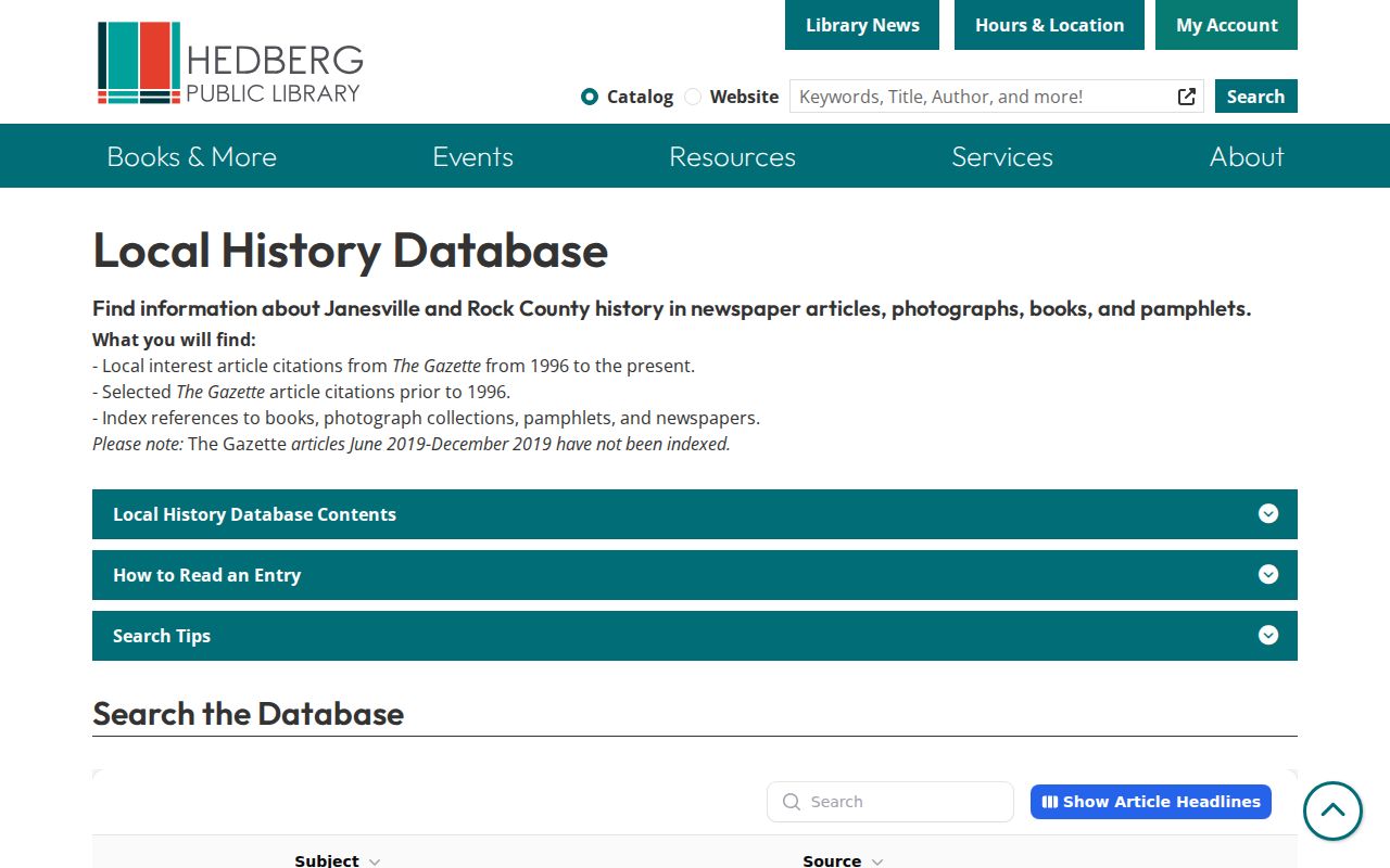
Its search interface leads to dated source entries, which should then be followed to the newspaper, book, photograph, or pamphlet named in the result.
Date a Janesville House with Maps
Maps help answer whether the same structure, lot, and address existed during an alleged period of residence. City Planning lists aerial photographs for 1956, 1963, 1970, 1975, 1980, 1985, 1990, 1996, and 2000. Compare them with plats, historic-district files, permits, atlases, photographs, and the current parcel. Aerials show physical change, not the identity of the people inside.
The Wisconsin Sanborn project provides 901 maps and 7,720 page images for 251 communities, chiefly from the 1880s through the 1930s. The exact Janesville Sanborn years were not confirmed in the inspected landing page. Record the item title, map year, sheet, building footprint, visible labels, and image URL only after locating an actual Janesville item.
No official Janesville street-renumbering or annexation crosswalk was found. When a number fails, work from legal description, plat, ward, river side, mill, bridge, owner, business, or landmark rather than inventing continuity.
Reach Janesville History Offline
Hedberg Public Library, 316 S. Main Street, is the main local research stop. Its Wisconsin Room is noncirculating, and staff can route researchers to Gazette microfilm from 1845, directories, atlases, yearbooks, maps, photographs, books, pamphlets, and licensed genealogy databases. Call 608-758-6600 for page or item help. Ancestry Library is available in the library; HeritageQuest census coverage through BadgerLink may be used remotely or in person depending on access.
The Wisconsin Historical Society, Rock County Historical Society, UW Digital Collections, and Recollection Wisconsin add catalogs, page images, and reproductions. City Planning and the assessor handle municipal maps and parcel context. The county recorder handles title. City or county public-record requests may reach permits and administrative files, while archive or library requests are better for old directories and newspaper pages.
In person, by phone, mail, fax, email, online portal, and archive reproduction are all valid channels. Record any service limit or fee before ordering. Wisconsin's Public Records Law supports specific requests to modern government custodians, but it does not turn a library archive into a current agency database.
Confirm Janesville Past Households
A directory line can place a name near an address in one publication year. A census can show a household at an enumeration date. An obituary may connect relatives, a death date, and a former residence. None of these records alone proves an exact move-in or move-out day. Build a dated chain and mark every gap.
The Janesville's Past collection is an image and browse archive. Save directory title, edition, page number, and collection identifier. The full shelf and reading method are developed on the Janesville city directories page. Here, the volumes serve one narrow task: testing who lived at the target address during each ownership era.
Newspapers and obituaries can close a trail when a prior resident died or moved, while probate and vital records may verify relationships under their own access rules. Never merge people only because they share a name. Seek an address, relative, document number, or other independent match.
Lawful use. Research Janesville previous residents for house history, family history, estates, and personal curiosity. Never harass, track, or harm a living person.
Safe at Home and confidential-elector rules can shield an actual address. A blank public result is an access limit, not evidence that someone was absent.